

Paúl León
Geospatial Analyst
Paul León Cadena is a geographer and environmental engineer. He completed his master's degree in planning and management of natural risks at the University of Alicante, Spain, in 2019 as a scholarship holder from the Carolina Foundation. His work has focused on urban growth, land use and land cover, and forest monitoring, with emphasis on the treatment of spatial component of dynamic processes and the application of geocomputing techniques.
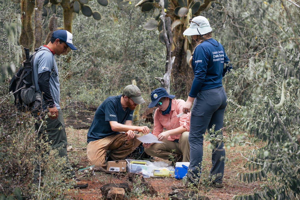
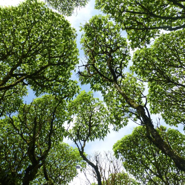
Paul joined the Charles Darwin Foundation on august. Currently, Paul is working on vegetation mapping in the humid zone of the Galápagos Islands through the use of geographic information systems (GIS) and software for digital image processing, using high-resolution satellite imagery and drone photos.
Paúl's programs
Land
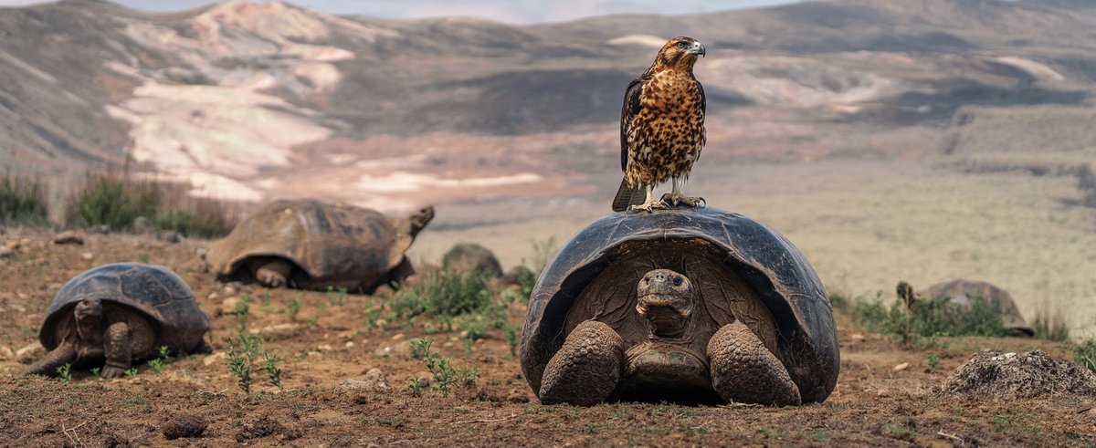
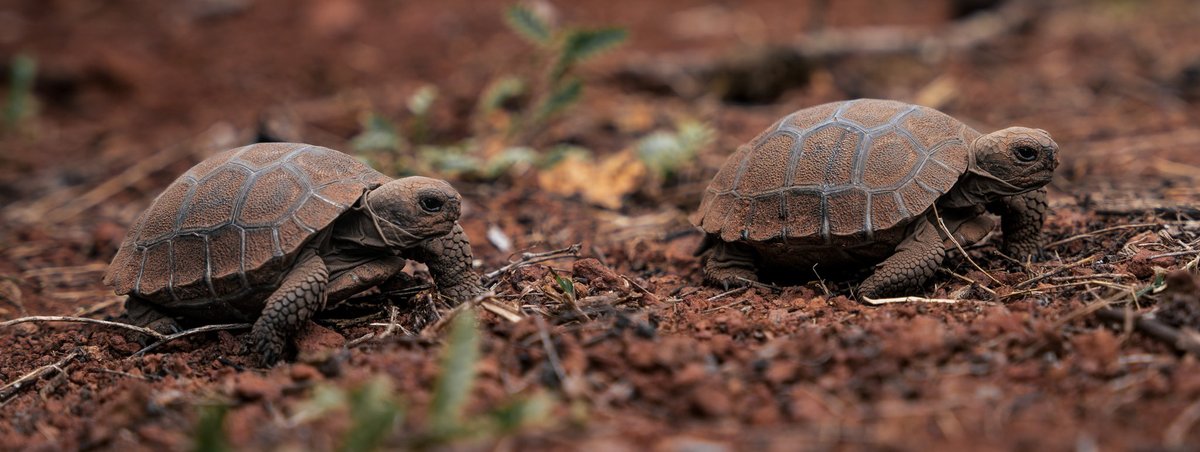
Scalesia forest restorationScalesia forests once thrived on the Galapagos Islands, forming a unique humid ecosystem for plants, insects, giant tortoises and birds. Today, only 1% of the forests’ original distribution remains, with several endemic species, including the Scalesia themselves, struggling to survive. We are working to restore this important habitat and given the rapid rate of forest loss, it is a race against time.