dataZone
About the Datazone
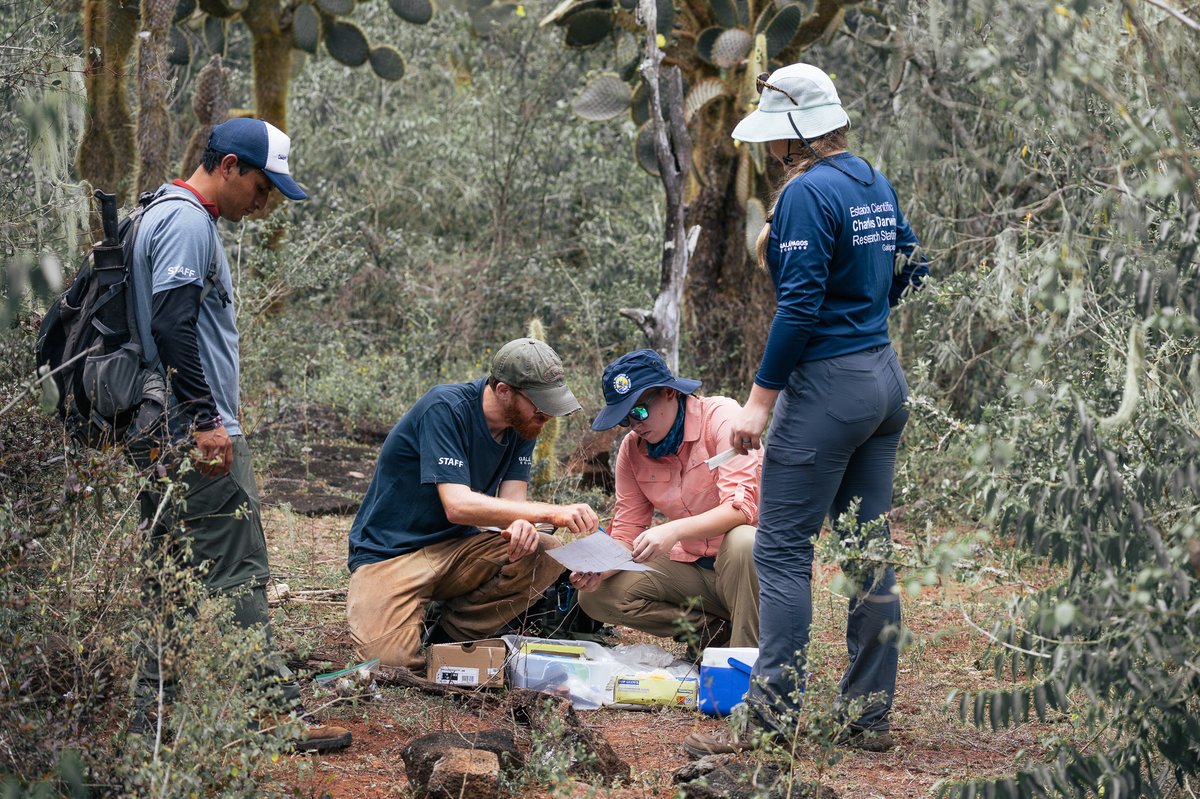
The dataZone is a collection of applications, accessible online, that provide access to the scientific information stored in several databases - product of almost 60 years of research in the Galapagos Islands.
Juan Manuel Garcia-CDF
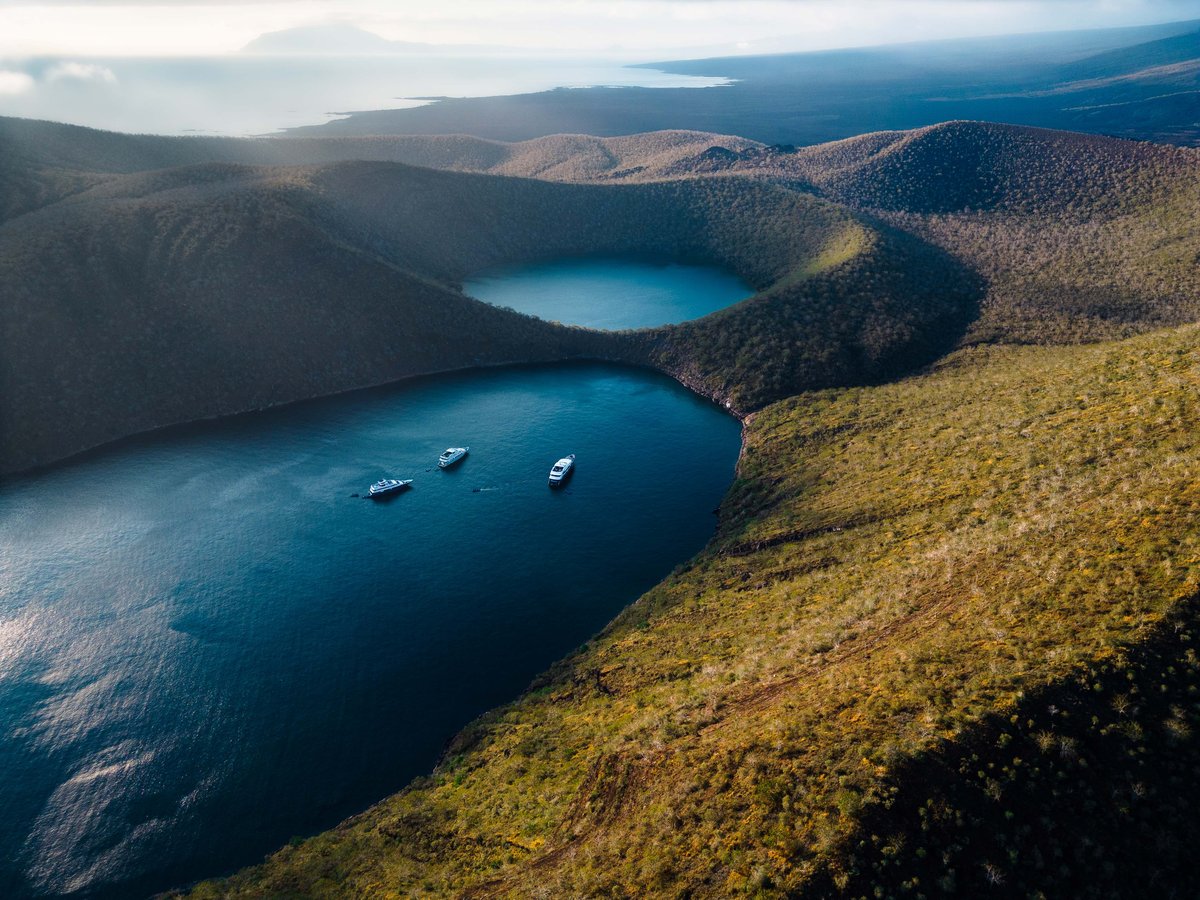
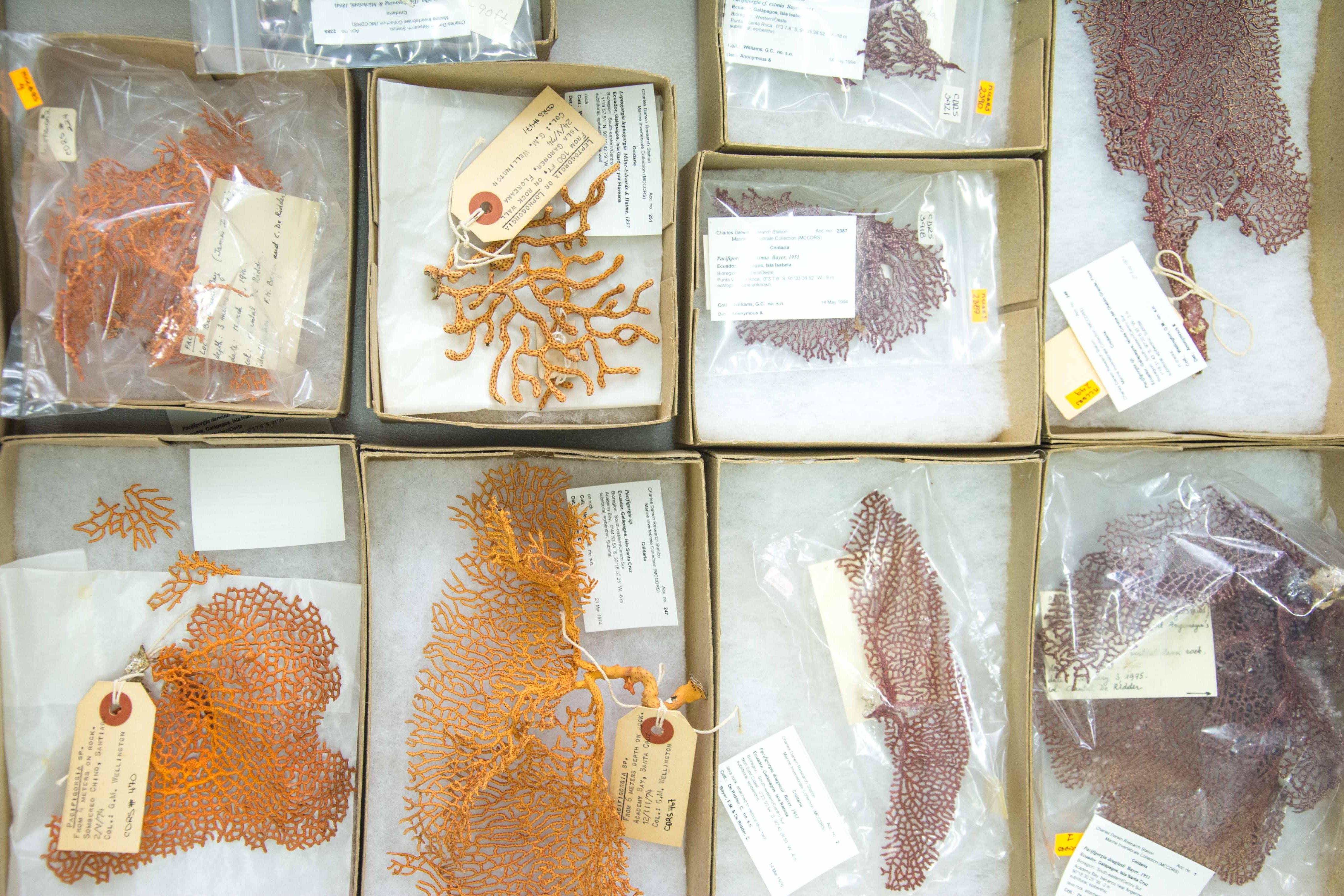
GALAPAGOS SPECIES DATABASE
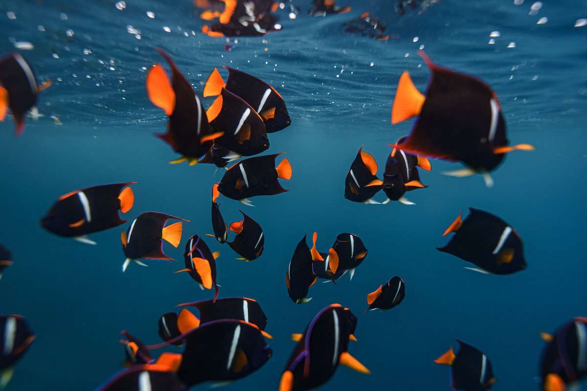
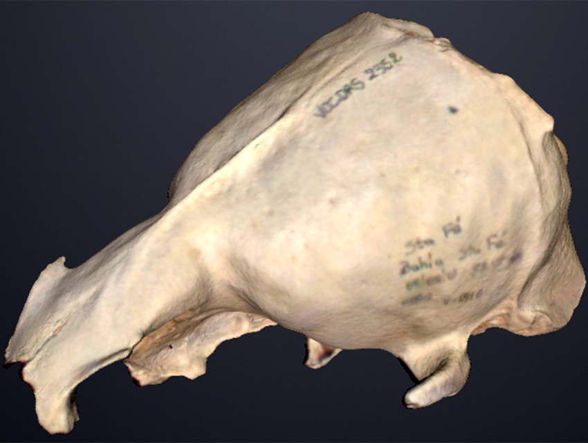
In our Galapagos Species Database, we openly share the information from our Natural History Collections Database. There you can search and review the available information about any of the +7,500 species that inhabit the Galapagos Islands.
Juan Manuel Garcia-CDF
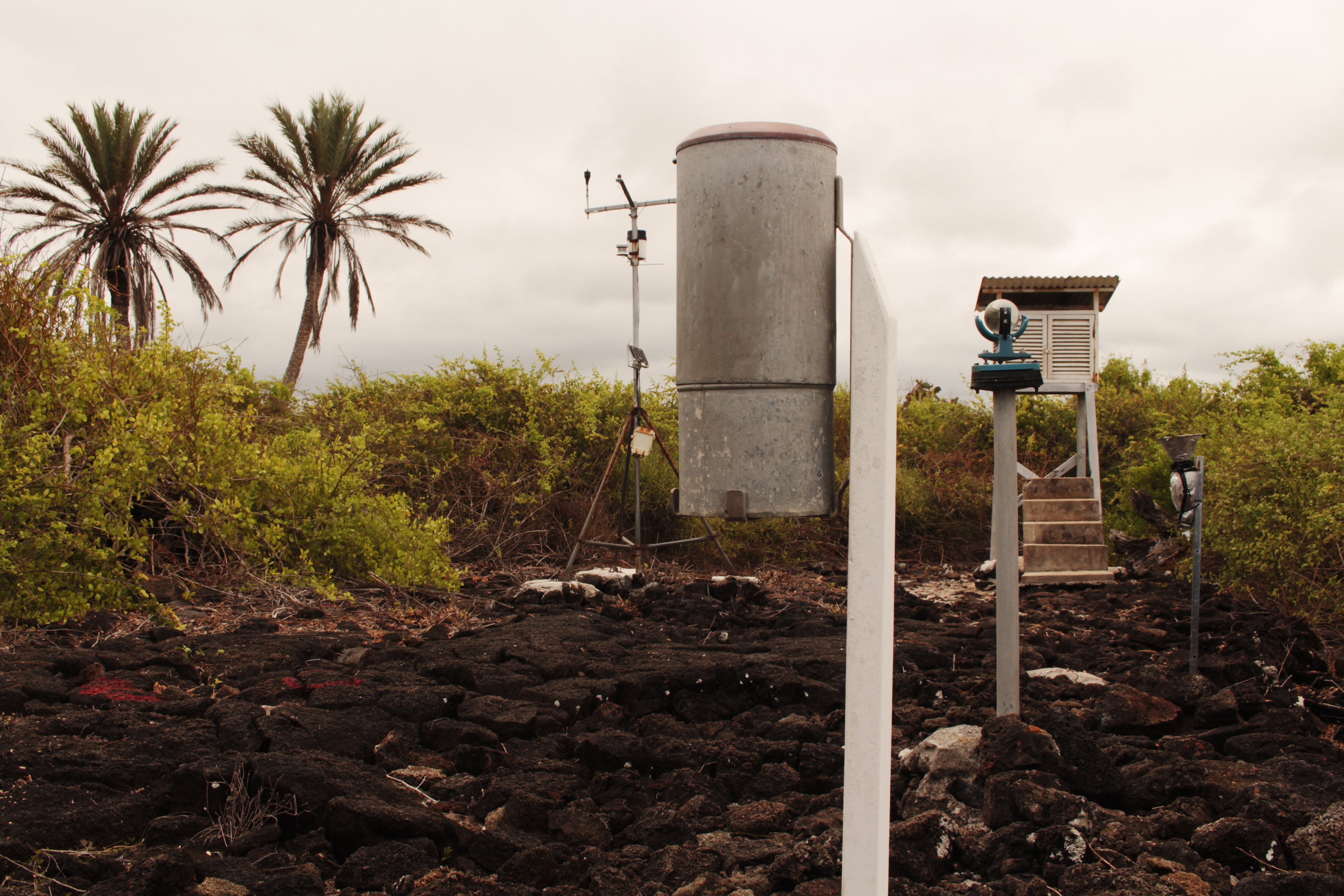
CLIMATOLOGY DATABASE
The Climatology Database of the Charles Darwin Foundation allows you to visualize and download the historical daily records of temperature, precipitation and humidity from our meteorological stations.
Julia Bolaños - CDF
INTRODUCED SPECIES DASHBOARD
Explore the Galapagos Introduced Species Dashboard and use our interactive tools to learn about introduced species in Galapagos, their introduction pathways, and their impact on the Islands' environment.
STORY MAPS & GEO APPS
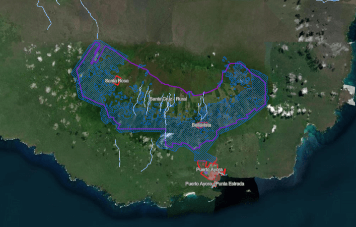
Explore our geo apps featuring crucial geographic visualizations about the Galapagos Islands, and delve into our story maps providing sneak peeks of our scientific projects through a blend of geographic data, narrative text, images, and multimedia elements – harnessing the power of maps to tell compelling stories.
Joshua Vela
GEOPORTAL
Dive into the public gateway to the Charles Darwin Foundation's geodata, where you can explore maps and download data that holds the key to understanding and addressing crucial local issues. From unraveling environmental challenges to developing innovative applications, this platform empowers you to contribute to the collective solution.
Oskar Cortez
GALAPAGOS RESEARCH DATA REPOSITORY
Discover a diverse collection of open research data from the science projects of the Charles Darwin Foundation, covering various aspects of the research in Galapagos.
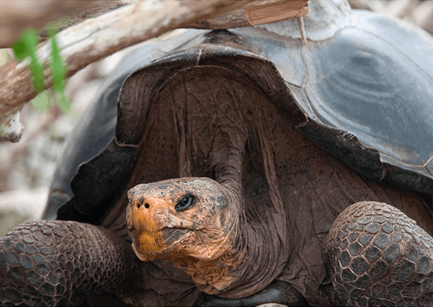
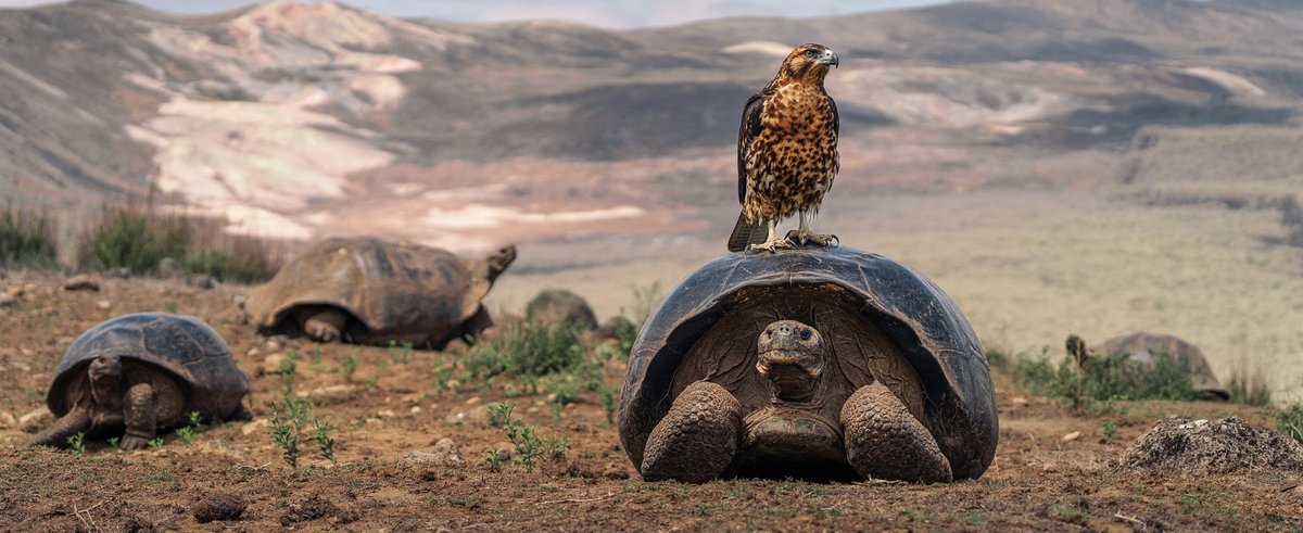
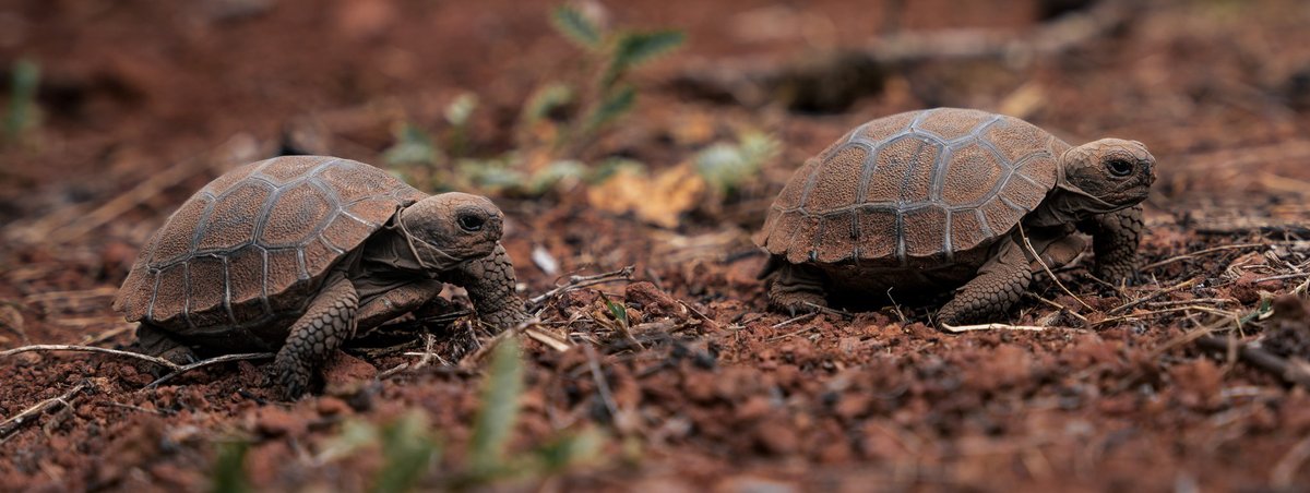
GIANT TORTOISE MOVEMENT, BIOLOGY, AND HEALTH DASHBOARD
Uncover the secrets of Galapagos giant tortoises through an interactive dashboard that allows you to track their movements, explore their health data, and discover fascinating facts about their biology, behavior, and conservation efforts.
Partner Institutions Visualizer
Explore the Charles Darwin Foundation's collaboration networks and get to know the partner institutions that contribute to scientific production in the Islands through this interactive visualizer. (Available in Spanish only)