Active since 2014
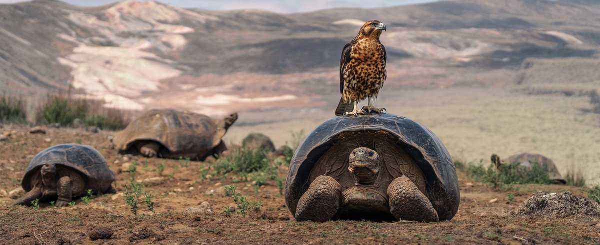
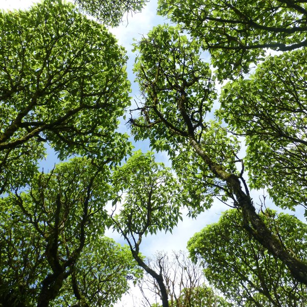
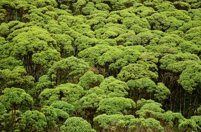
Scalesia forests once thrived on the Galapagos Islands, forming a unique humid ecosystem for plants, insects, giant tortoises and birds. Today, only 1% of the forests’ original distribution remains, with several endemic species, including the Scalesia themselves, struggling to survive. We are working to restore this important habitat and given the rapid rate of forest loss, it is a race against time.
Heinke Jäger-CDF
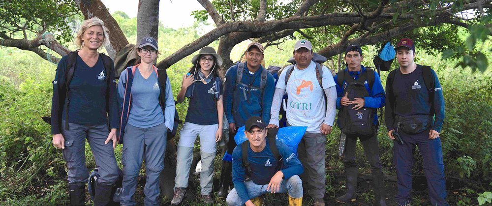
Our team
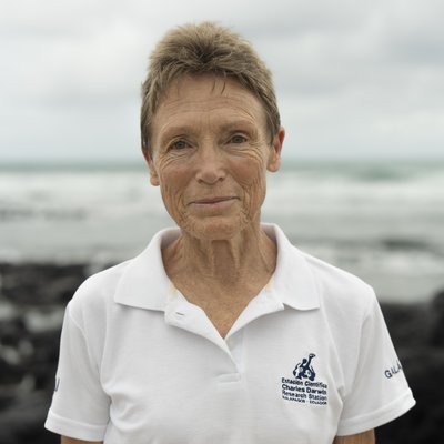
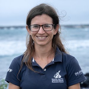
Heinke Jäger
Principal Investigator - Restoration of Scalesia Forests and Terrestrial Invasive Species
Miriam San José
Investigator
Jacqueline Rodríguez
Investigator
Rakan Zahawi
Executive Director and CEO

Paúl León
Geospatial Analyst
Karen Vera
Entomologist
Patricio Picón-Rentería
Entomologist
María Sol Herrera
Entomologist
Pedro Gómez
Field Assistant
Jhonatan Ullauri
Field Assistant
Danny Llerena
Field Assistant
Anne Guézou
Ecologist - Scalesia Forest Restoration
Donors
BESS Forest Club
COmON Foundation
Fondation Franklinia
Fondo para Control de Especies Invasoras de Galápagos (FEIG)
Galapagos Conservation Trust
Galapagos PRO
Keidanren Nature Conservation Fund
Lindblad Expeditions National Geographic Fund
Re:wild
Wilhelma
Oceans Finance Company
Collaborators
Universidad del Rosario, Colombia
University of Florida, USA
Penn State University, USA
University of Coimbra, Portugal
Technical University Berlin, Germany
University of Natural Resources and Life Sciences (BOKU), Austria
University of Bozen-Bolzano, Italy
Mediterranean Institute for Advanced Studies, Spain
Institute of Natural Products and Agrobiology, Spain
Biodiversity International, Peru
University of Flinders, Australia
University of Adelaide, Australia
University of Vienna, Austria
Centre for Agricultural Bioscience International, UK
Wellesley College, USA
Nova Southeastern University, USA
University of the Americas, Ecuador
University of Hamburg, Germany
University of Bayreuth, Germany
Escuela Superior Politécnica de Chimborazo, Ecuador
The Challenge
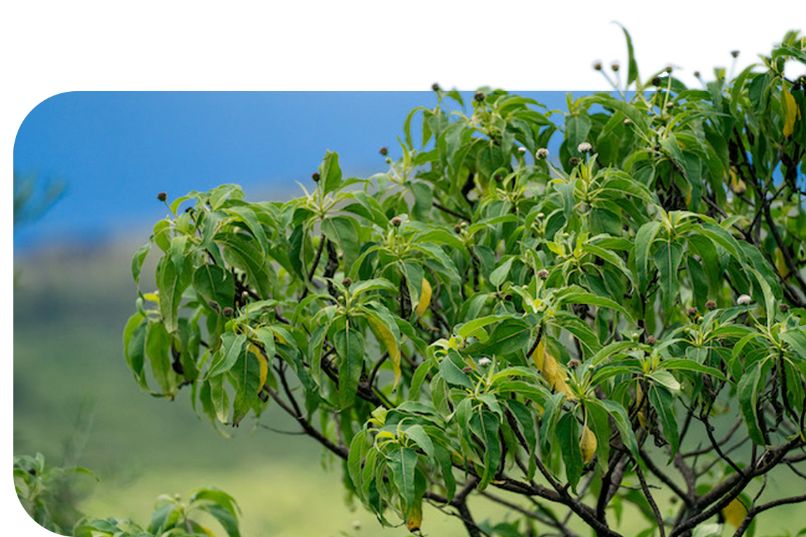
The endemic Scalesia genus that belongs to the Asteraceae or sunflower family consists of 15 species, most of which are shrubs. Three species grow as trees up to 15 meter tall, aptly termed “giant daisy trees”. Some are unique to a single island, such as the endangered Scalesia cordata, found only on the southern part of Isabela Island.
Like Darwin’s finches, the different species have adapted to the different vegetation zones found on each island. Scalesia plants are generally fast growing, with the Scalesia pedunculata growing up to 0.3 cm a day! However, it has a short life cycle of 15-20 years. The species persist by producing numerous seeds that germinate in forest openings. Unfortunately, land clearing for agriculture and fires in the early 20th century caused the initial sharp decline of Scalesia forests across inhabited islands. Today, the main threats are:
Invasive plant species, notably blackberry (Rubus niveus), but also guava (Psidium guajava), sauco (Cestrum auriculatum), and Cuban cedar (Cedrela odorata) which is also commonly known as Cedrela. Blackberry was introduced in 1968 for agricultural purposes but is unsuitable for commercialization. It is highly invasive and forms a dense understory thicket, obstructing sunlight transmission and thus inhibiting the germination of Scalesia seeds, consequently inhibiting Scalesia regeneration. Without Scalesia seedlings, the species will be driven to extinction.
Climate change poses another contemporary threat to Scalesia forests. Intensified weather patterns, characterized by heavier rains and stronger winds during El Niño events, are toppling over trees at an alarming rate, and this is particularly problematic for Scalesia given its shallow rooting system.
Carlos Espinosa-CDF
Carlos Espinosa-CDF
What We Are Doing
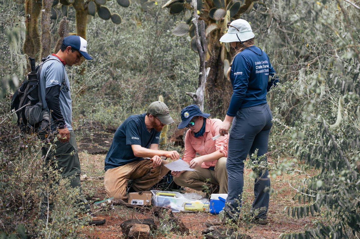
Our restoration work focuses on the four inhabited islands: Floreana, Santa Cruz, Isabela and San Cristobal, as well as on the island of Santiago, which is uninhabited. Across these islands, our research includes a mix of the following activities:
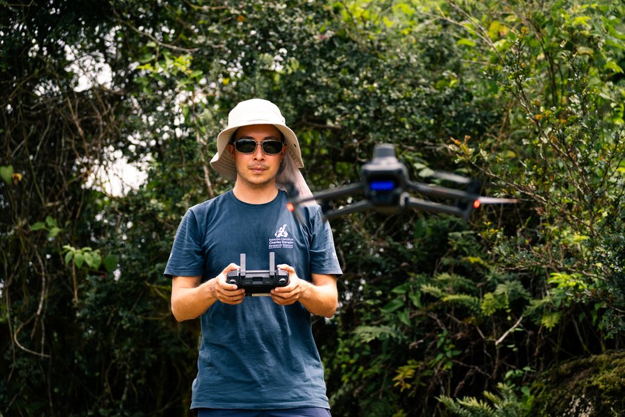
Ecological landscape monitoring
We utilize drones and high-resolution satellite imagery to create maps depicting the distribution and abundance of threatened and invasive plant species over time. This approach allows us to identify areas where species are disappearing or invading, aiding in the prioritization of restoration efforts across expansive and hard-to-reach areas.
Conservation and management
We assess the impacts of invasive plants on the native flora and fauna, control invasive plants alongside the Galapagos National Park Directorate, and evaluate these management actions over time.
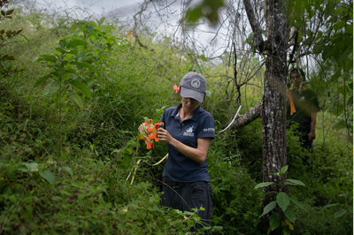
Restoration
We grow Scalesia seedlings in greenhouses, replant them in areas that have been cleared of invasive plants, and monitor their survival and growth.
Education and community outreach
We educate local communities about the crucial role of the Scalesia forest ecosystem, and encourage farmers to reintroduce Scalesia on their land.
Carbon capture by Scalesia
We study the carbon capture capacity of Scalesia trees to better understand the underlying mechanisms of energy flow through the forest ecosystem.
Biological control agent for blackberry
Together with the Centre for Agricultural Bioscience International (CABI) in the UK, we are looking for a suitable long-term biological control agent of the invasive blackberry, Rubus niveus, in Galapagos.
Soils
We evaluate how invasive species change the nutrient, bacteria and fungi compositions in the soil.
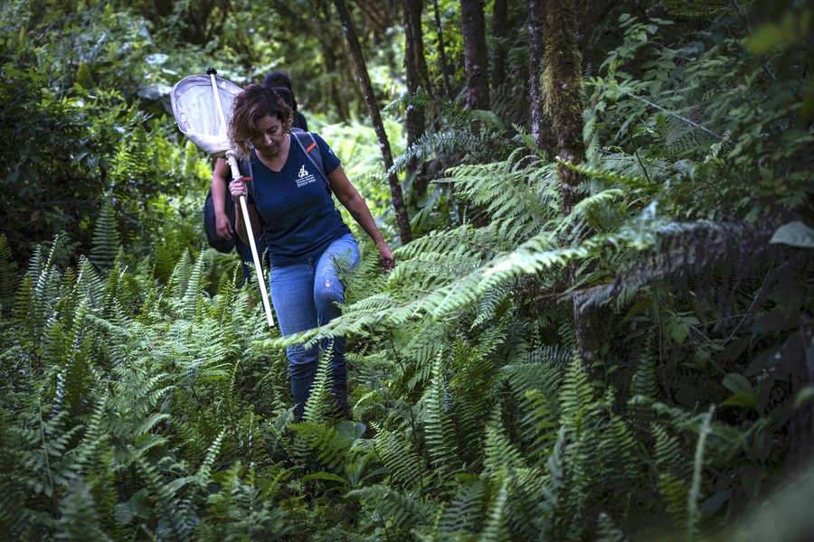
Invertebrate monitoring
We monitor invertebrates communities to evaluate impacts of invasive plants and the effects of invasive plant control, helping to assess restoration success.
Program objective
Prevent the extinction of the Scalesia forests on five different islands, to ensure that endemic plant and animal species living there will thrive for generations to come, by using proven conservation methods and by providing key information for management actions.
Why It Matters
Saving a unique habitat
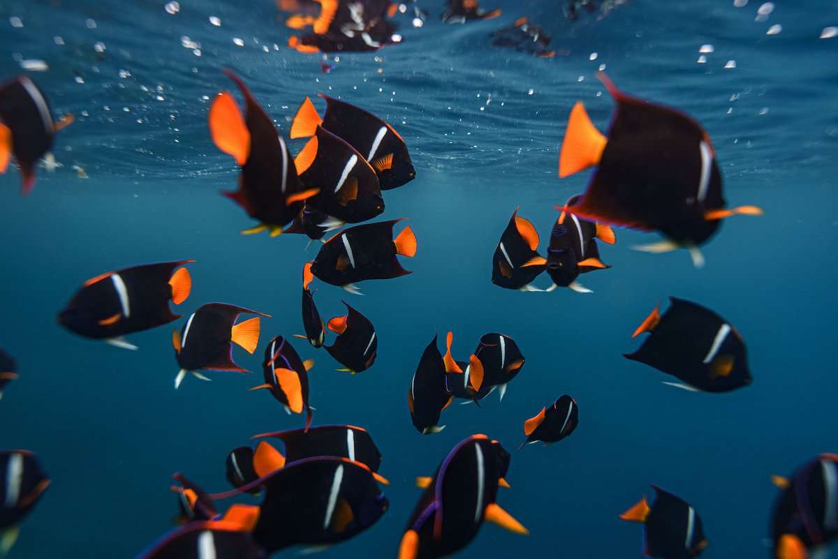
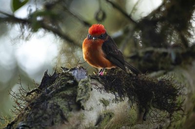
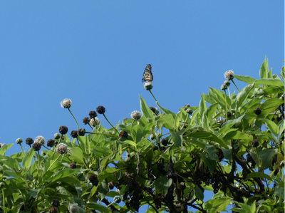
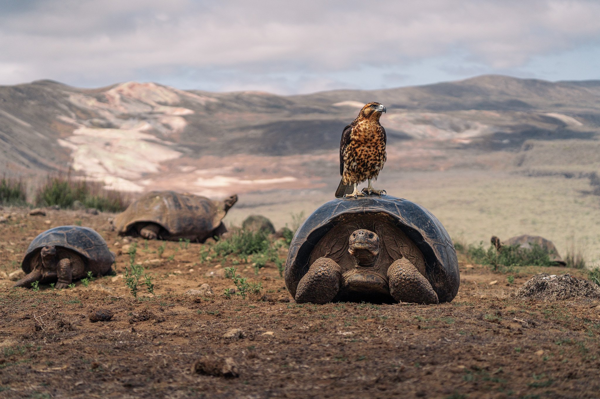
Endemic Scalesia forests are found nowhere else on Earth. It forms a unique ecosystem that provides an important habitat for many endemic plant and animal species. Endemic insects are abundant on the Scalesia trees, where they find shelter and are an important food source for the famous Darwin's finches and the Little Vermilion Flycatcher. Moreover, threatened bird species rely on these trees for nesting.
Scalesia forests offer essential ecosystem services that are crucial for Galapagos' overall health and long-term sustainability. Losing this unique ecosystem and its associated species would be devastating.
Carlos Espinosa-CDF
Rashid-Cruz-CDF
Arno Cimadom
Miriam San Jose-CDF
Our impact
Preventing the extinction of the unique Scalesia forest
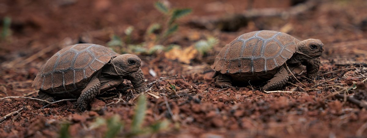
We have started to see encouraging results in our work to halt the decline of Scalesia forests on the islands of Santa Cruz and Isabela. On Isabela, our restoration efforts with Scalesia cordata resulted in the natural regeneration of more than 250 seedlings at five different sites in 2023, where regeneration was previously nil over at least the last ten years. During the same time period, natural regeneration of Scalesia pedunculata has only been observed in areas freed of invasive species, demonstrating the importance of control actions. Similar efforts will very soon be extended to the remaining islands.
Training future conservationists
Since our work began, we have successfully trained numerous students from Galapagos, Ecuador and other countries in ecological methods, critical thinking, field work techniques, and the development of management tools to aid long-term conservation goals.
Understanding underlying invasion mechanisms
Studying the impacts of plant invasions on the Scalesia forests has allowed us to shed light on the mechanism underlying this complex process. This in turn helps us guide management actions in other unique ecosystems in Galapagos and elsewhere.
Obtaining crucial insights on invasive plant species
Through their work, our scientists obtain crucial information about the impacts of invasive species, as well as of the impact of their control, on resident plant and animal species. Understanding these impacts has helped us to minimize impacts on non-target species and prioritize management strategies.
Carlos Espinosa-CDF
Why You Should Support Us
As the only organization in Galapagos that conducts systematic long-term monitoring on the plant and invertebrate communities in these unique ecosystems, our program provides crucial information for the necessary management activities to save the endemic Scalesia forest and its associated species from extinction.
Here are some specific ways how your sponsorship can help:
- Support our long-term monitoring of plant and invertebrate communities.
- Fund our long-term efforts to protect the endangered Scalesia species from extinction.
- Help us plant Scalesia seedlings out in the wild.
- Support our efforts to train local students.
Rashid Cruz-CDF
Latest news
-
Scalesia Forests in Santa Cruz could be gone in 20 years
Study reveals urgent need for large scale invasive species management to prevent extinction of endemic forest in the Galapagos Islands
-
Scalesia cordata: from concern to hope on Isabela, Galapagos
When we talk about Galapagos we always think of Darwin, giant tortoises and finches. But few outside Galapagos know about the Scalesia plants, commonly known as Darwin’s giant daisies.
Protect Galapagos, Impact the World
The impact you make on this small ecosystem of enormous biodiversity is part of a larger footprint you are leaving for the world's future. Join us on our mission to safeguard one of our planet’s most important natural treasures through science and conservation action by making a donation today. Thank you for making an impact with us.