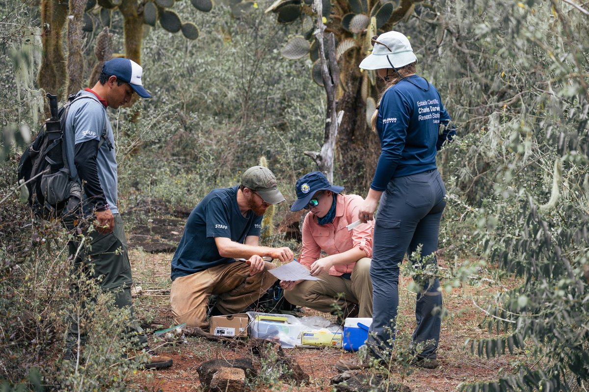

The Charles Darwin Foundation (CDF) received a donation of high resolution satellite images from the DigitalGlobe Foundation through Brown University, US.
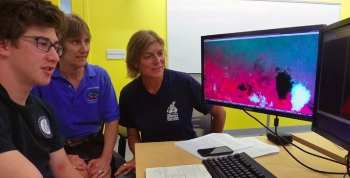
This donation has been received by Lynn Carlson, manager of the EARTHLab at Brown University, and Heinke Jäger, a CDF scientist. Other team members include the IBES faculty members, Jack Mustard and James Kellner at Brown University and the undergraduate student, Ethan Ebinger.

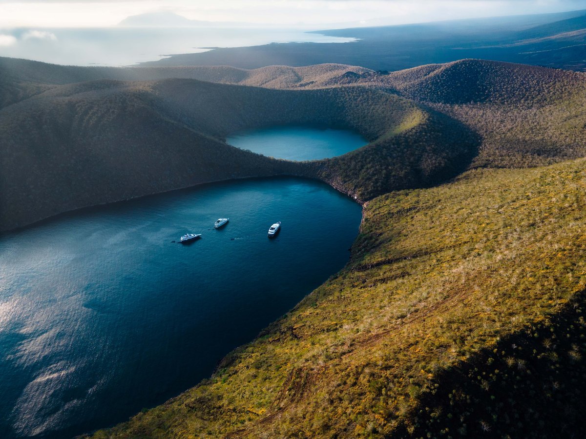
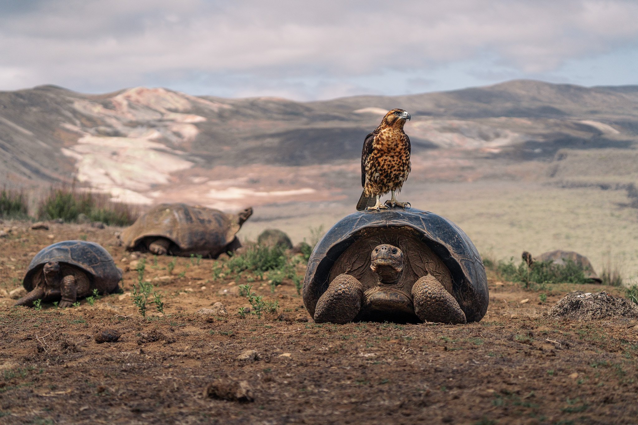
The unique animals and plants of the Galapagos archipelago have experienced few extinctions, mainly due to late colonization of the islands and the protection as an uninhabited national park. However, land use change and invasive plant species in the inhabited have affected large areas of natural vegetation. Of the ca. 1400 plant species of the Galapagos flora, about 800 are introduced and about 30 of them are invasive. Despite the fact that some of these species are known as serious invaders, like quinine (Cinchona pubescens), blackberry (Rubus niveus), common guava (Psidium guajava), sauco (Cestrum auriculatum) and Cuban cedar (Cedrela odorata), their distributions within the archipelago is not well known.
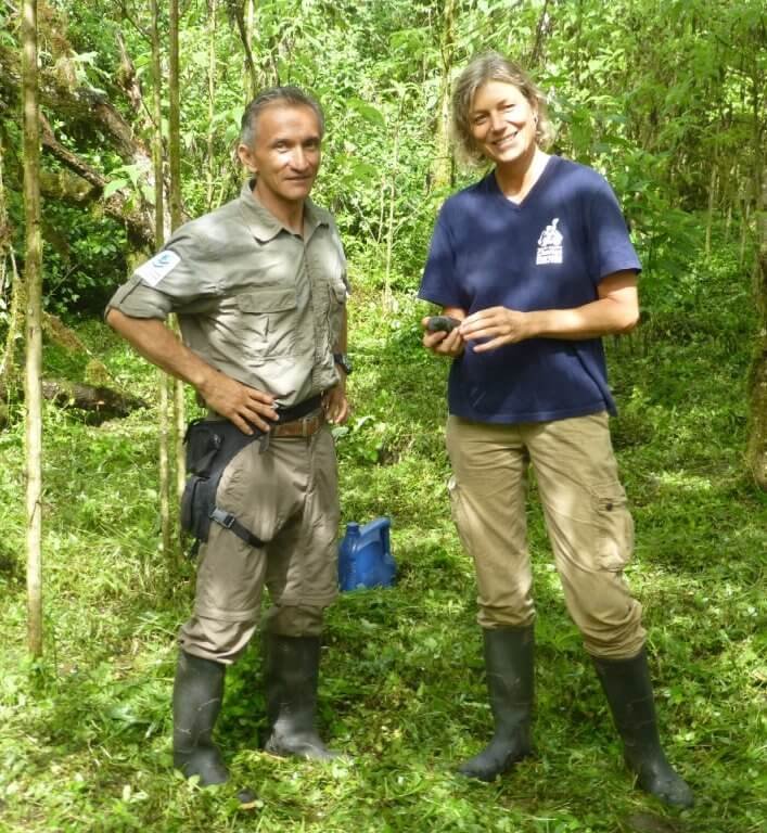
The identification of the areas affected by invasive species is a difficult task due to the size of the islands and the difficult access to most areas. Therefore, the donation of the satellite images is a very important step in the process of the investigation and management of these weeds.
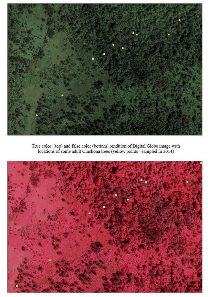
"The objective of this collaboration between the Brown University and the Charles Darwin Foundation (CDF) is to map the distribution and abundance of species of the most invasive plant species, using high resolution satellite images for the 5 larger islands (Isabela, Santa Cruz, San Cristobal, Santiago, Floreana). This project will support the efforts of the Galapagos National Park Directorate (GNPD) to control invasive plants in conservation areas. Since this work is a time consuming and expensive, distribution maps of the most invasive species generated by this project will help prioritize management actions and preserve limited funds for research and management" says Heinke Jäger.
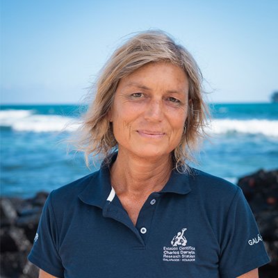
Heinke Jäger
Principal Investigator - Restoration of Scalesia Forests and Terrestrial Invasive Species
Protect Galapagos, Impact the World
The impact you make on this small ecosystem of enormous biodiversity is part of a larger footprint you are leaving for the world's future. Join us on our mission to safeguard one of our planet’s most important natural treasures through science and conservation action by making a donation today. Thank you for making an impact with us.